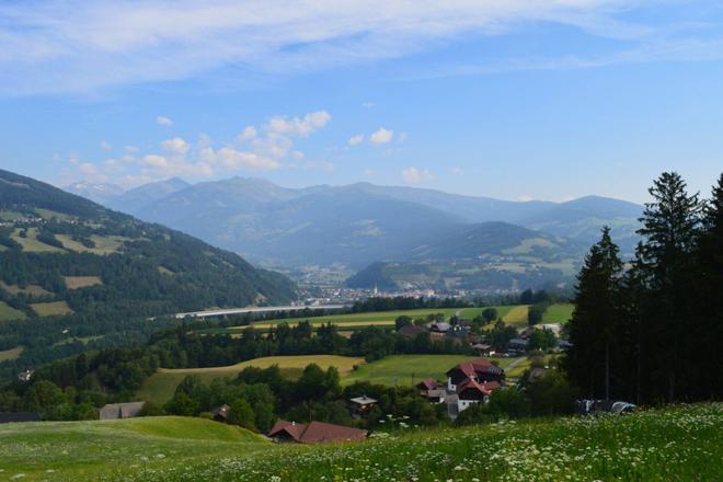
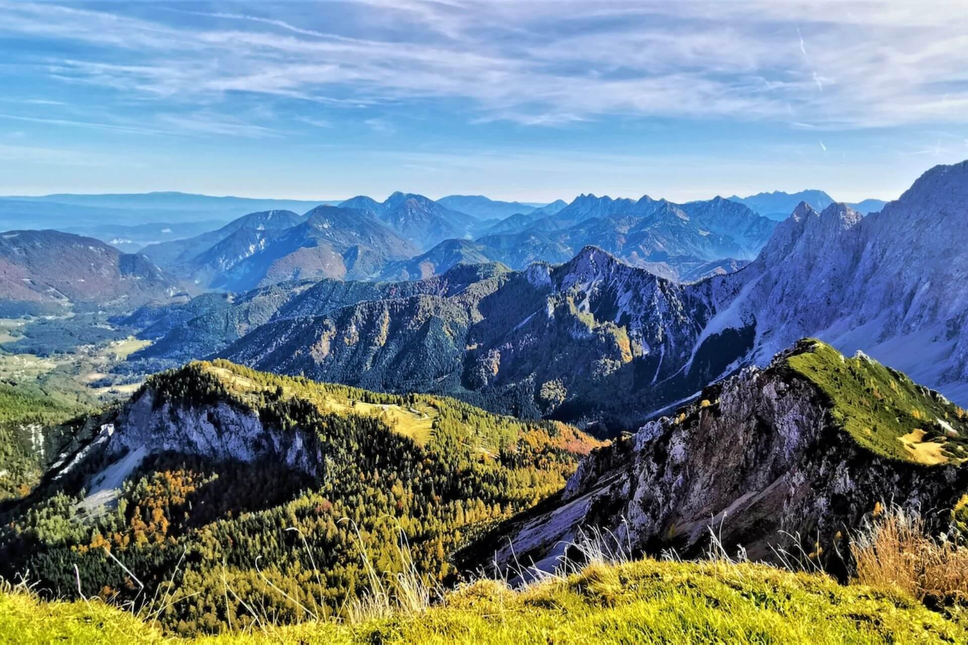
The countless long hiking trails in Carinthia invite you to explore the beautiful natural scenery. On four wonderful trails you will approach the south step by step. Join us and discover what beautiful nature and views await you and what you can see during this magical trip.
1. The Carnic High Trail (KARNISCHER HÖHENWEG) – history at 2000 metres
When you go to the mountains, you want to see nature and beautiful mountain panoramas. But if you're after history, you'll head to a museum or a big city. Here you can combine both! On the Carnic Ridge Trail, 1500 to 2000 meters above sea level, Austria and Italy meet, but also nature and history. The Carnic Alps region is geologically significant. The fossils here show the Earth's history, which is approximately 500 million years old. But this region is not only interesting from an architectural point of view. Anyone walking along the 150-kilometer long hiking trail will discover crumbled trenches and old bunkers. They are witnesses to a cheerless period when thousands of Austro-Hungarian and Italian soldiers fought a merciless trench war here during the First World War. The route is now called the "Peace Trail" and runs from Sillian in East Tyrol via the Plöckenpass and Nassfeld to Thörl-Maglern in Carinthia. The first part requires a little more skill as it runs through high mountain terrain. In rustic huts you have the opportunity to spend the night, rest and process what you have seen along the way. The second part of the long-distance walking route is easier. Step by step, with one foot in Italy and the other in Austria, you walk past the archaeological symbols and monuments of our history.
Length: 150 kilometers
Stages: eight to eleven daily stages of six to nine hours walking
Difficulty: moderate to difficult
2. The Alpe-Adria-Trail – From the Grossglockner to the sea
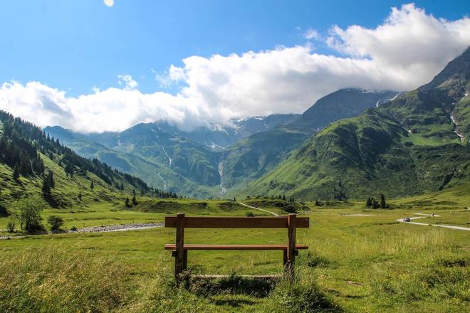
The Alpe-Adria-Trail is a 750 km long, perfectly signposted and naturally stunning cross-border route that runs through three countries: Austria, Italy and Slovenia. It starts at the foot of the majestic Grossglockner massif and ends at the Adriatic Sea. It is a route full of beautiful discoveries and experiences, alternating between various natural phenomena and scenery. Hikers pass waterfalls, mountain streams, lakes and rivers until finally the endless surface of the azure blue sea spreads out before them. As they wander, they can observe the ever-changing landscape with its specific flora and fauna and fully appreciate the cultural differences between the different countries.
From Austria's highest mountain, the Grossglockner (3,798 m above sea level), to the Adriatic Sea: 43 stages, each averaging 17 km in length, through Carinthia, Slovenia and Friuli Venezia Giulia. Still heading south, with a total of 750 kilometers! All along the way, a mild Mediterranean climate, many hours of sunshine and pleasant temperatures accompany pilgrims. Everything you need to know about the Alpe-Adria-Trail is listed at the information points, which are located in the form of three pedestal posts in the villages where the stages start/end.
Length: 750 kilometers
Stages: 43 daily stages with an average walking time of six hours
Difficulty: moderate
3. The Tauern Alpine Trail (TAUERNHÖHENWEG) – beware of vertigo
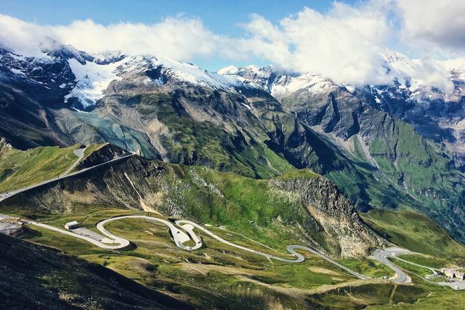
Put one foot in front of the other, exhale briefly, stop and take in the incredible scenery. Then dare to take the next step. The second part of the Taurus Alpine Trail is called the "royal stage". It's a good thing you listened to the innkeeper at the Glocknerhaus and set off early in the morning. The ascent to Hocharn is secured in some places by a wire rope. The route goes over the crest of the Alps and you really have to concentrate hard. At the highest point of the trail, you suddenly see why every step of the 1800 vertical metres climbed was worth the effort. The view opens up to inhospitable rock faces and varied panoramas. It is reserved only for those who are comfortable in high mountain terrain. The Tauern Alpine Route is not for beginners. Adrenaline sections, icy spots on the trail, constant proximity to the main Tauern ridge, which the trail even follows in places. If you want to climb up here, you need to be sure of where you are going and not feel dizzy. You'll be rewarded with spectacular views of the surrounding area and the fact that you've left your everyday worries down in the valley.
Length: 60 kilometers
Stages: 6 daily stages of six to ten hours walking
Difficulty: moderate to difficult
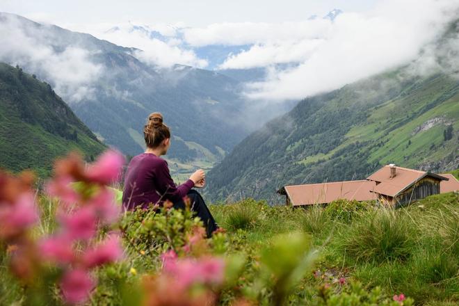
4. The Nockberg Trail (NOCKBERGE-TRAIL) – Rounded mountains and endless distance
The rounded peaks of the Nockberge Mountains rise proudly towards the heavens. No one would have guessed that they are 60 million years old. But age has been kind to them. Winding paths lead along gently undulating alpine slopes and the scent of wind, lava, flowers and mountains wafts up your nose. The Nockberg Trail combines hiking and enjoyment. You can climb a few vertical meters with the help of a cable car. Afterwards, you walk to the Blutige Alm, where you will be amazed by the colourful flood of flowers on the flowering meadows in summer. Experienced hikers, however, will head to the centre of the Nockberge Biosphere Reserve, which is under the auspices of UNESCO. There you will discover the most beautiful panoramic views of the entire region. Suddenly you are surrounded by the High Tatras, the Carnic and Julian Alps, the Caravans and the Low Tatras. With a hearty snack, which of course must include homemade cheese and bacon, you lose yourself in your thoughts amidst the endless mountains and enjoy the intoxicating feeling of freedom.
Length: 75 kilometers
Stages: five daily stages of between three and seven hours walking
Difficulty: moderate
