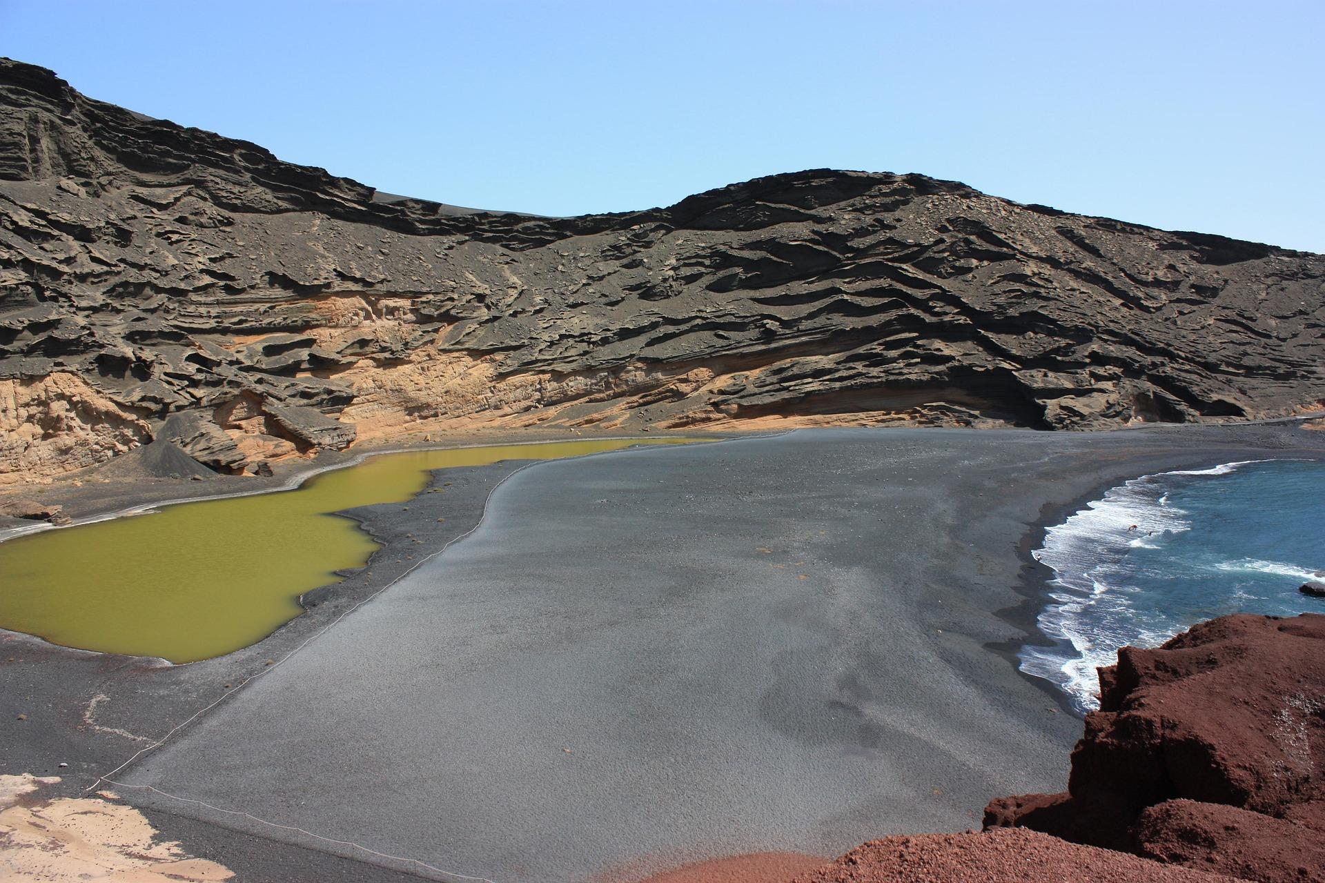
Mountains formed by fire and a unique volcanic landscape in the form of an "open museum of volcanology" are the pride of the geopark, which stretches across the south-west of Lanzarote, the five nearby islands of Chinijo (north of Lanzarote) and the surrounding ocean floor.
Timanfaya National Park
On Lanzarote, the geopark's boundaries practically follow the boundaries of the Timanfaya National Park, where, as well as exploring the volcanic craters, you can sample food cooked on the lava that in some places rises from the still-active volcano beneath the island. The terrain here is also full of thermal anomalies. For example, you can encounter geysers of boiling water, whose temperature reaches 250 degrees Celsius. The town of Tinajo and its surroundings are home to a number of remarkable geological phenomena, including the El Cuervo volcano, Montaña Colorada and Caldera Blanca. Easy hiking trails lead to each of these. The La Geria region, where vines are grown on volcanic soil, also boasts a unique landscape.
By foot, bus or camel
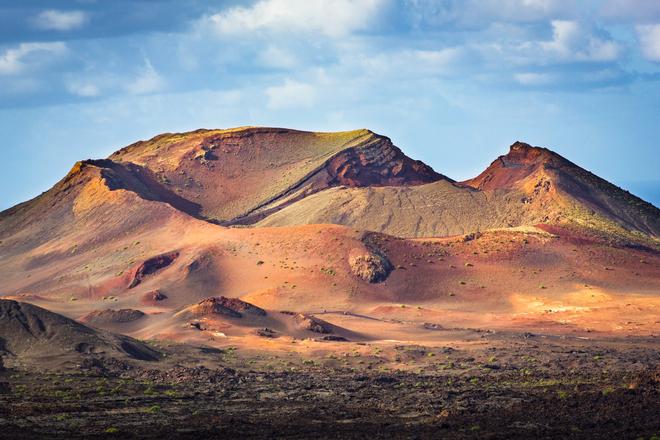
Timanfaya NP can be explored more extensively by three hiking trails. The first is the "bus" Volcanoes Route, fourteen kilometres long and "guided". The remaining two are for hikers. More challenging is the nine-kilometre coastal route, and the four-kilometre Tremesana route, which is easily accessible, and which can be done with a guide (excursions are held on Mondays, Tuesdays, Thursdays and Fridays). You can also "soak up" the site, which resembles a Martian landscape due to the red-brown colour of the stones, during a twenty-kilometre camel ride.
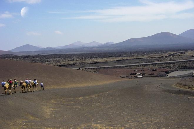
In addition to the typical volcanic structures, the Montañas del Fuego volcanic mountain range in the centre of the Timanfaya Park is characterised by stone fields, steep cliffs, valleys, beaches without hotels, sand dunes, and prehistoric fossils. The maximum altitude of this highland and the whole of Lanzarote (670 metres above sea level) is the lowest of the four large Canary Islands, of which Lanzarote has the smallest area.
Landscape like on Mars
Lanzarote's Martian or lunar landscape (shades of red, yellow and orange) is the result of volcanic eruptions that occurred quite recently – as recently as two centuries ago. And these historical circumstances have also determined the uniqueness of Timanfaya Park today, within the fifteen Spanish nature reserves with the highest degree of protection. The lava flows here have created unprecedentedly varied landscape formations.
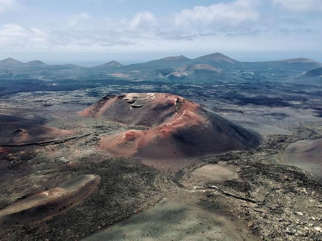
Among the unique conditions that have contributed to the preservation of the volcanic structures are the constant temperatures and winds, the low rainfall and the vegetation. Small craters, fissures or basins can be seen almost everywhere. The power of living nature over the inhospitable environment of the desert is particularly evident in the lichens. When visiting Timanfaya NP, you should also not miss the underground galleries formed by lava and the subsequent erosion - such as the kilometre and a half long Cueva de los Naturalistas.
Artist against insensitive construction
The influence of volcanic activity is, in short, everywhere in Lanzarote, including the coastline and its beaches, such as Papagayo in the south, or unique places like Lago Verde (Green Lake). Accommodation options are very diverse in the immediate surroundings of the reserve. The backbone of accommodation in Lanzarote is the cheaper and more modestly equipped hotels or apartments, which usually have a beach bar and swimming pool and buffet meals, if any. You can get a night's accommodation in such establishments for a good price.
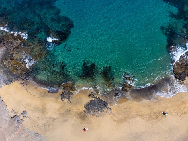
With one exception, the metropolis of Arrecife in Lanzarote lacks multi-storey hotels, which is to some extent a credit to the legacy of the artist César Manrique. The island native blended man-made elements with natural ones, including volcanic eruptions, in his work. He also advocated stricter regulation of new construction on Lanzarote. There are several places to view and admire his work, which is sustainably combined with the volcanic nature of the island in seven Centres of Art, Culture and Tourism (see the list below).
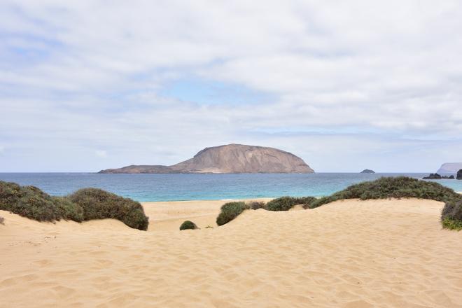
The five islands of Chinijo include Montaña Clara, Roque del Este, Roque del Oeste, Alegranza and La Graciosa, with only the latter being permanently inhabited and by far the largest of the five in area (just under 30 square kilometres). To get there, and further explore the island, perhaps by bicycle, you can take a ferry from Lanzarote. The journey takes 25 minutes and costs EUR 15.
Art, culture and tourism centres and 'interpretation centres' in Lanzarote
Jameos del Agua
Cave of the Greens
Cactus Garden
Viewpoint of the River
El Campesino House Museum
Fire Mountains
House of the Volcanoes: located in Jameos del Agua
Mancha Blanca Interpretation Centre
Echadero de los Camellos Museum
Castillo de San José/International Contemporary Art Museum
