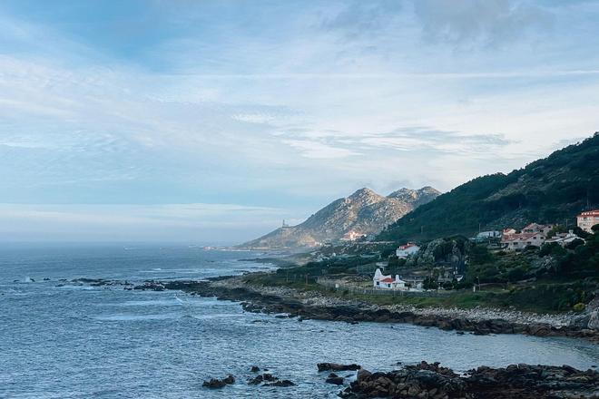
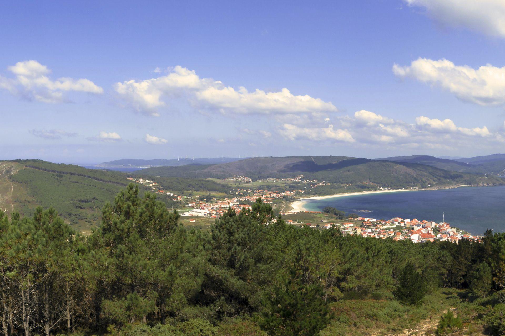
The Camino de Fisterra (or Camino Finisterre) is a beautiful pilgrimage trail that starts in Santiago de Compostela and ends in the town of Fisterra – the so-called "edge of the world". Some pilgrims, who collect stamps for their pilgrim passport, stretch their journey to the picturesque fishing village of Muxia to complete the necessary kilometres. Whether you choose to walk to Fisterra or Muxia, you will arrive in what is known as the "Spanish part of the world" and the coastline bathed by the Atlantic Ocean will tempt you to cool off.
Mystical Fisterra
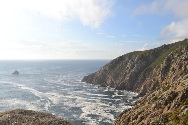
Fisterra, or the edge of the world, also called the "Costa de Morte", translated as the coast of death, has an interesting reputation. Many legends and mystical stories surround it. It is said that pagans once travelled to this cape where the sun died and the worlds of the dead and the living converged. So they brought sacrifices here to please the gods and pray.
The Romans believed that Fisterra was the westernmost point of Europe and the place where the sun disappears into the ocean, and the place got its name – Finis Terrae – the end of the land.
We could also call this place the coast of death, because you won't find many tourists here. Nowadays, it is common to see tourist centres and crowds of people everywhere, which is perhaps why this place is so appealing. Or it may also be called the coast of death because there are numerous shipwrecks around the coast. Who knows...
Practical information
The route from Santiago de Compostela to Fisterra is approximately 80 km long. How long it takes to walk the route is up to you, most pilgrims take 4 days. If you want to walk all the way to Muxia, add another 30 km. Definitely consider this walk, it is the most beautiful part of the route and it would be a shame not to see it.
Pilgrims stay in the so-called Albergues. You will find these hostels in most of the villages you will pass through. The rule here is first come, first served. Be sure to pack a sleeping bag and mat in your backpack. They will be needed in Albergues.
Get a so-called pilgrim's passport – a credential – and collect stamps of the places you have passed in it. You can get stamps in Albergues, churches, pubs and other designated places. And the important thing you must not forget is to be in a good mood!
Be sure to use a Route planner to plan your trip in Spain. Once you have chosen your starting and destination location, it will offer you options for your trip and interesting tips for places along the way, including photos of specific places! You can save waypoints to make sure you don't miss anything.
Santiago de Compostela – Negreira – 21.2 km
There are some quieter climbs and descents in this section, and about halfway through you'll hit one major climb with an elevation gain of 200 metres.
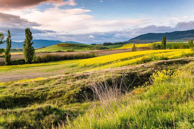
We start our pilgrimage where most pilgrims end it, at the famous St. Stephen's Cathedral. We take one last look at the cathedral and then are on our way to new experiences. First you will walk through forests and meadows, later you will be among the rocks. Along the way you will meet several small villages and beautiful places. Alto do Vento is definitely worth noting, from where the aforementioned biggest climb leads to Augapesadas. Cross the medieval bridge of Ponte Maceira to cross the river and from there it is only a few kilometres to Negreira.
Negreira – Olveiroa – 33.4 km
After crossing the Barcala River, you will come to a crossroads. Here it is advisable to head to the right. Take the safer route. After 3 kilometres you will reach the town of Zas, where the road joins the asphalt one. The next clues are the towns of Vilaserio, Maroñas and Alberioas. In some parts, you will pass through the old royal road that led to Fisterra, and you will be at higher altitudes, so you will get some beautiful views of the countryside.
Olveiroa – Fisterra – 34.9 km
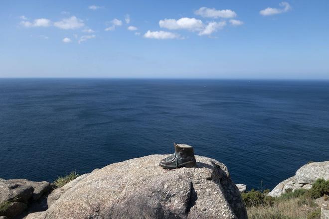
This part is the most enjoyable in terms of elevation gain, as you go more down than up. The first part of this stage, heading towards Hospital, is slightly uphill, but then you descend downhill until you reach the town of Cee. From here, onwards through Corcubión and Sardiñeiro, the route goes around the coast, so you can enjoy the views. From the destination town of Fisterra, be sure to head to Cabo Fisterre, which is just 3 kilometres away, and it would be a shame to miss out on such a spectacular sight! Watch your hats, it's pretty windy here. If you find pieces of clothing in this place, don't be surprised. It is a tradition that has been going on for years, where pilgrims burn old clothes at the end of their trip to symbolically end their journey.
Fisterra – Muxia – 30.3 km
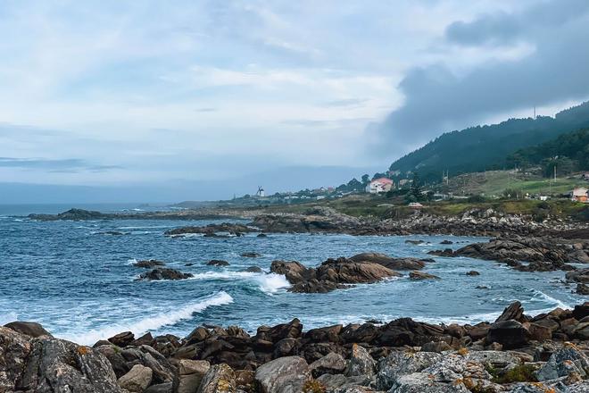
The official Camino Fisterra no longer leads to Muxia, but it is definitely a shame to miss this leg of the pilgrimage trail. For those who love the view of the endless ocean, this route is perfect. You will pass through the villages of San Martiño de Duio, Lires, or Frixe until you reach the finish. Muxia is a picturesque fishing village, known mainly for the unassuming Santuario da Virxe de Barca church at the very tip, surrounded by granite stones that are said to have healing powers.
